
Strandstad van de Randstad
Almere Duin is an ambitious area development stemming from the government's task to Almere to provide 60,000 homes b...
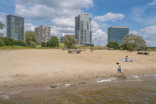
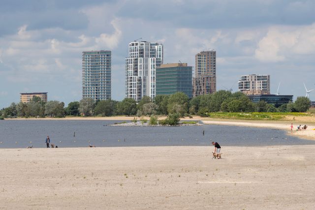
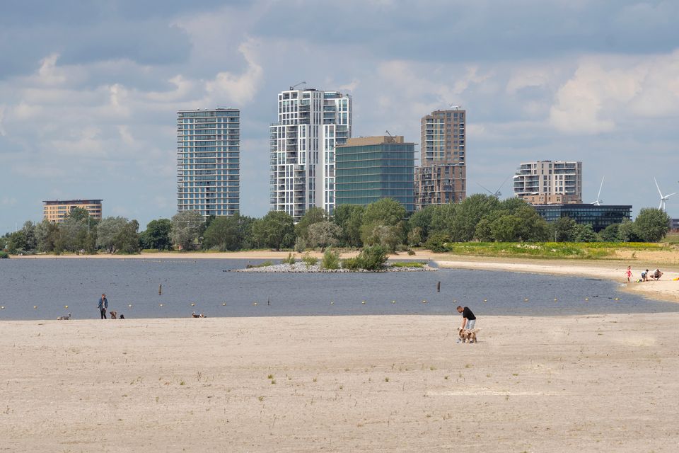
Almere Duin is an ambitious area development that stems from the government's task to Almere to add 60,000 homes between 2010 and 2030. This expansion, known as the 'Scale Leap', was to fulfil a significant part of the housing task in the North Wing of the Randstad. In 2008, the Municipality of Almere launched a competition under the name 'Strandstad van de Randstad' with the aim of coming up with a concept for an integrated area development of the western part of Almere Poort on the IJmeer. The competition took place just before the financial crisis and aimed at creating a residential, working and recreational area on the western side of the city, an area that had not been outlined before. The urban plan of Duin, a collaboration between developer Amvest, municipality of Almere and urban planning agencies BVR and ZUS, is special because of the order in which it was implemented: first the dune landscape was created, then the houses were built. For the landscape, almost two million cubic metres of sand were deposited to create dunes. Within this landscape, sand-coloured houses are scattered loosely or placed in small rows. A wide boulevard forms the main artery of the area and runs along the coast on the waterfront. The design combines high and low densities, with tall residential towers along the coast road offering wide views, taking full advantage of the location on the IJmeer. In the spatial environment, beach, dunes and woods alternate. Forty years after the development of Almere Haven, the city rediscovered the potential of waterfront living, this time with a view of Amsterdam on the other side. If there is one city that represents the social engineering of the Netherlands and our entire engineering history, it is Almere in Almere Duin. A fresh dune landscape was created in a polder where once there was a lake and before that a sea.